Up and Down in Zhangjiajie (by Carmen)

Snow frosted limestone tower
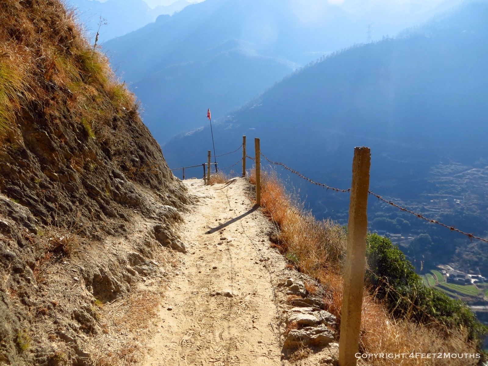
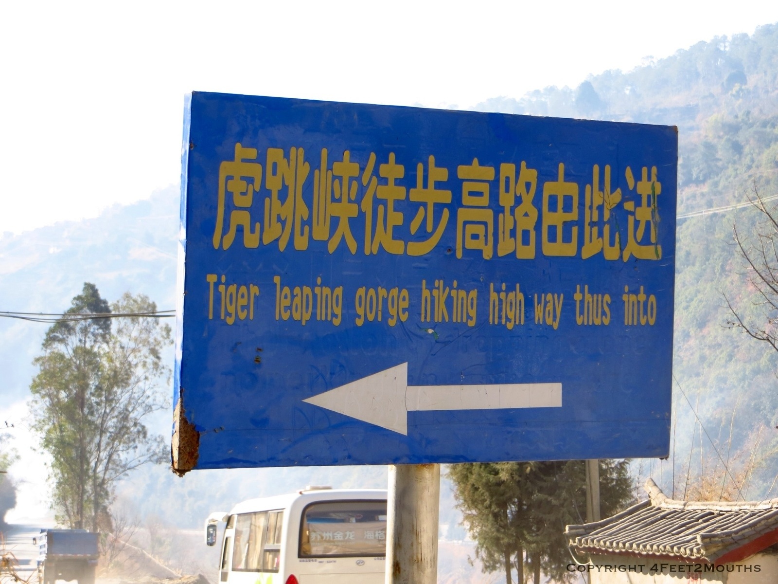
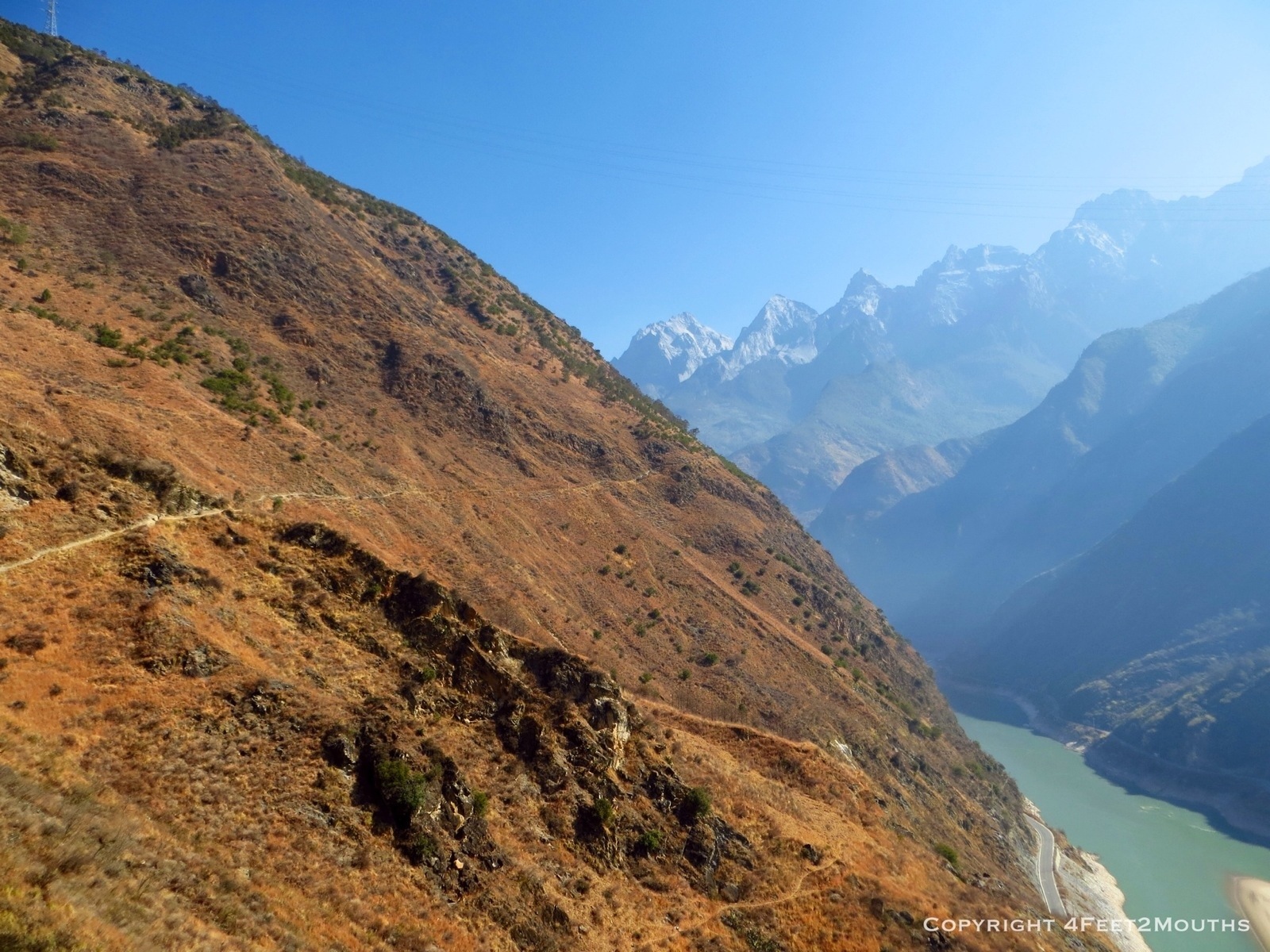
As we embarked on the China portion of our trip, there were a handful of places and experiences that were absolute musts: hiking Tiger Leaping Gorge, watching sunset on flooded rice terraces, eating lots of Sichuan food, and seeing Zhangjiajie (also called Wulingyuan). You may not have heard of it but you’ve probably seen pictures. The ethereal landscape of towering limestone pillars mysteriously shrouded by mist has become a well photographed corner of China. We boarded a bus from Changsha in order to see them for ourselves.
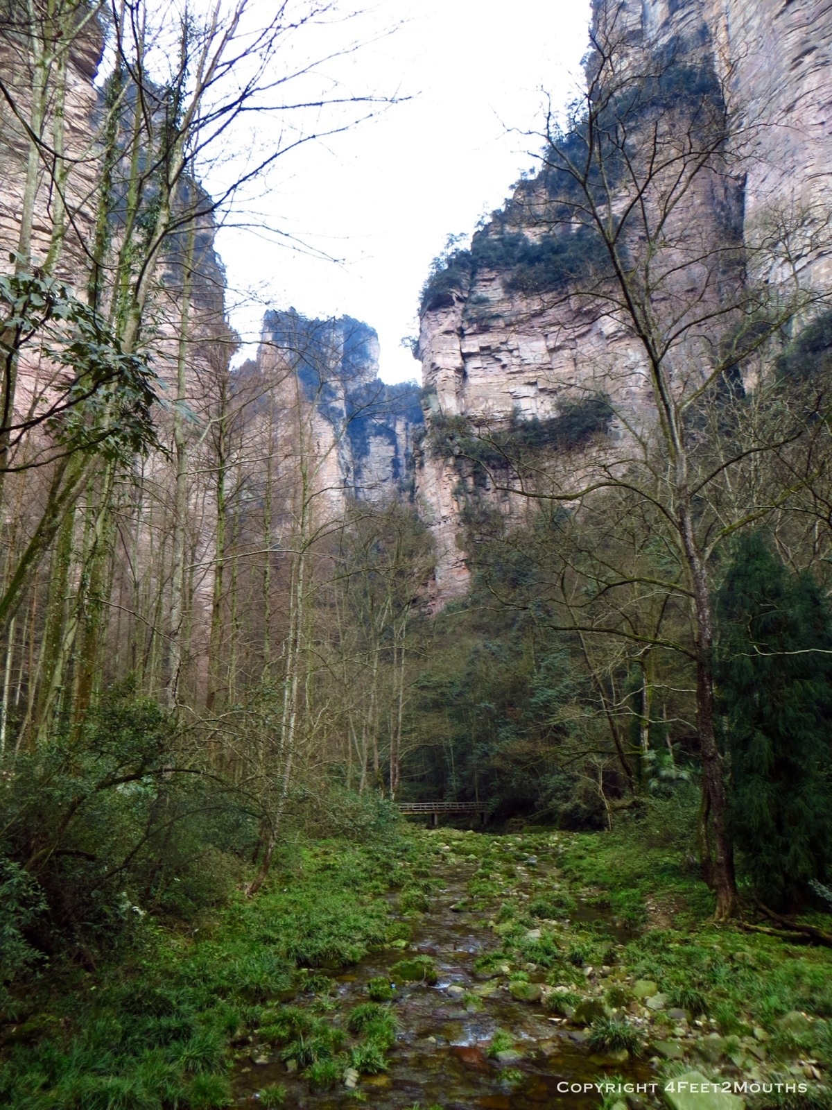
Mossy stream bed

Monkey considering whether or not to attack
After buying the entry ticket and making it through the aggressive vendors at the front gate, we entered a place of quiet and calm. Even the one monkey we saw was pretty chill. I was happy about this since I had read that they like to attack people for food. We walked along a paved path following a mossy stream bed called the Golden Whip. In fact, our entire walk over the next few days would be on paved paths since the Chinese generally don’t care for the whole dirt trail thing in their parks.

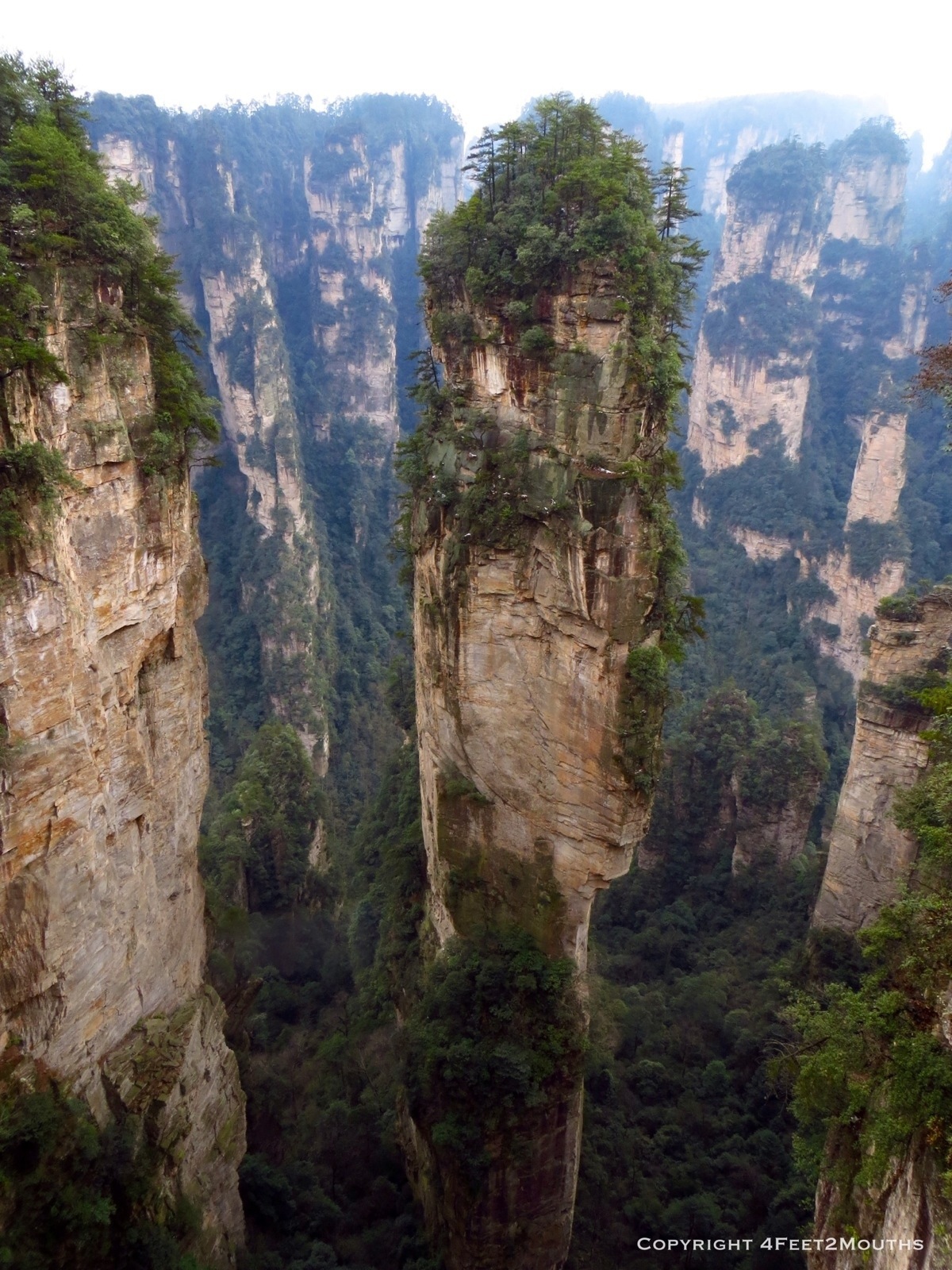
Misty cliff view
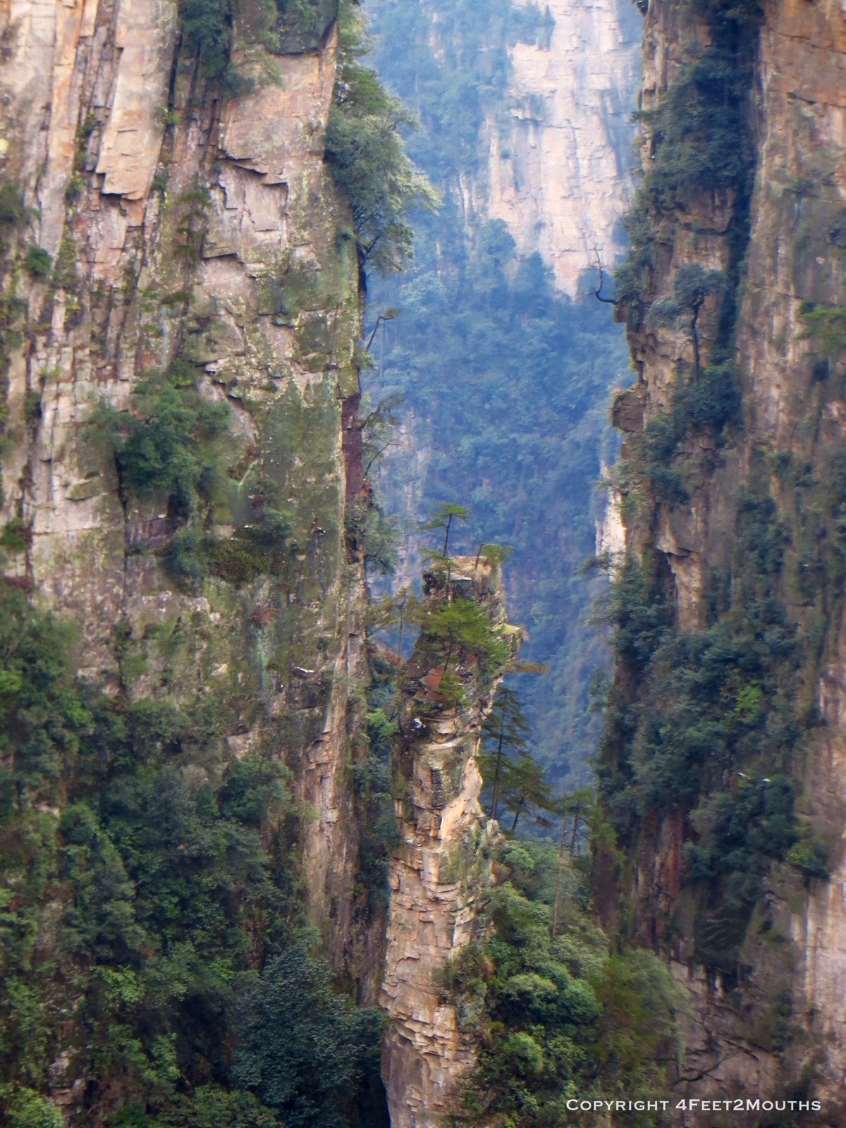
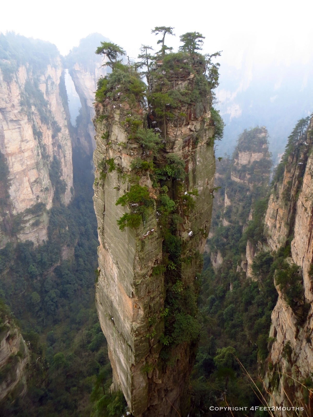
Thin pillar tower
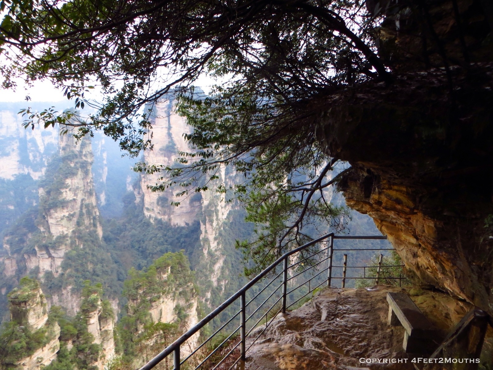
And then we went up. Endless staircases climbed from the stream bed to the cliff edge over 1000 ft (300 m) above. It was so high, we passed the snow line and in the shadows snow crystals would crunch beneath our feet. Breathlessly we made it to the top and took in the stunning view of the canyon.

See the tiny people at the viewpoint?
The viewing platforms the park had built were right on the edge! We lingered to enjoy the views and watched as tour bus groups would rush in, take a zillion photos of themselves, then run to the next platform.

Avatar mountain banshee
Hallelujah Mountain
Soon enough it was time to find some mountain banshees and fly around the park for a closer look at the towers. Park officials insist that Zhangjiajie was the inspiration for Avatar, though James Cameron doesn’t whole heartedly support this assumption. I could definitely see the similarities. To solidify the connection there was an official ceremony to rename one of the towers Hallelujah Mountain, the name of the fictional floating rocks in the movie. And of course they installed the banshee photo op. Classic.
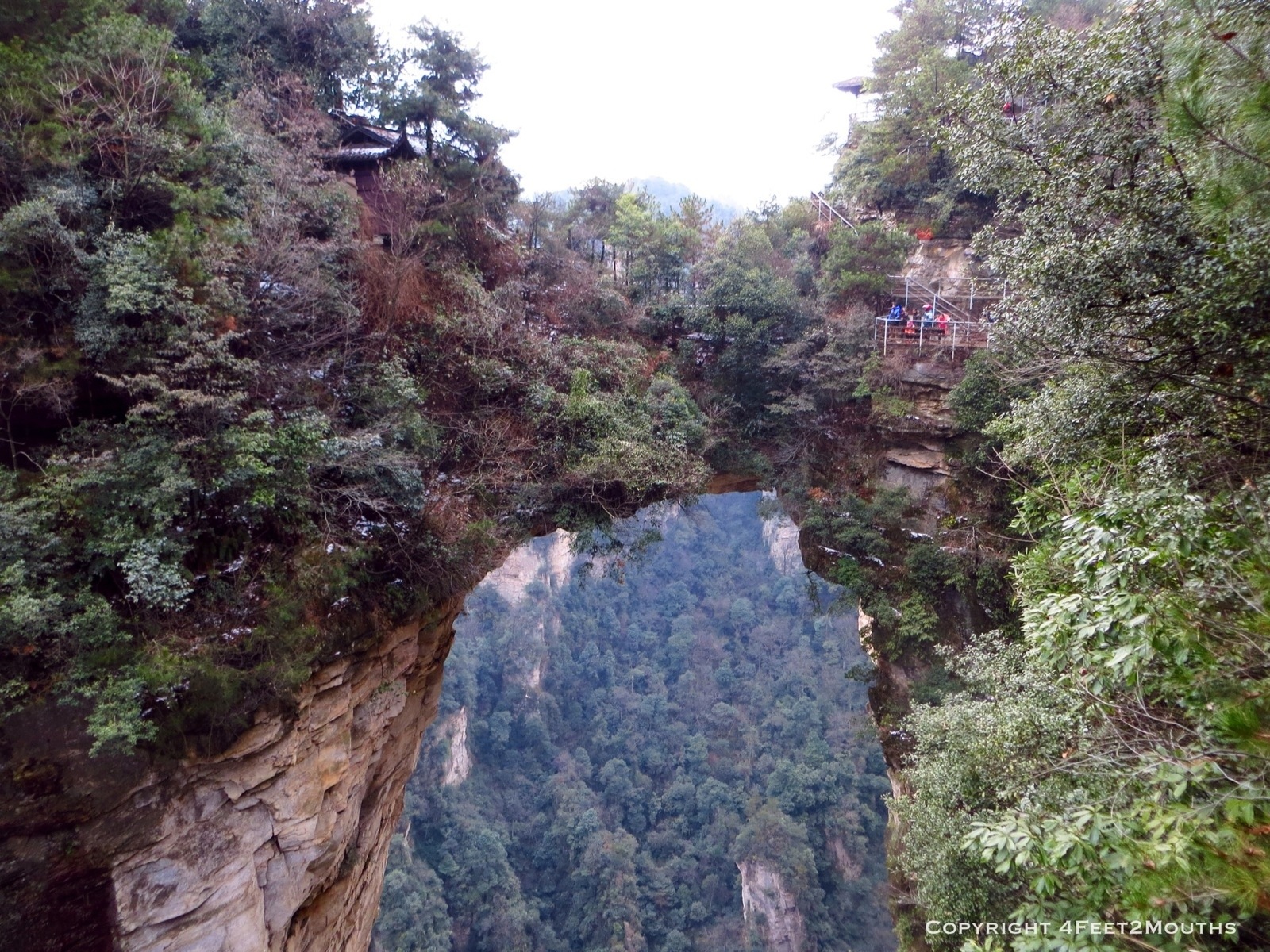
Number 1 Natural bridge

Locks of love
Thin tower with bridge in background
Shortly after our banshee ride we came upon the “Number 1 Natural Bridge.” China likes to name lots of things “Number 1,” but I might actually agree with them on this. It was spectacular. Walking on it was exhilarating. I suppose since it is such a special spot, people have started placing locks on the fences to symbolize love, friendship or even wishes.
Bench with awesome view

Sunlit tree
We walked along the cliff edge path for about an hour enjoying the view. As the sun began to set we made our way to our lodging for the night. Our hostel was a simple one within the park bounds. Since there was nowhere to go at night everyone ate and played in the main common room. We bundled up to survive the freezing indoor temperatures (no heat of course) and played cards while gobbling up some fried rice.

Escher-esque stairs
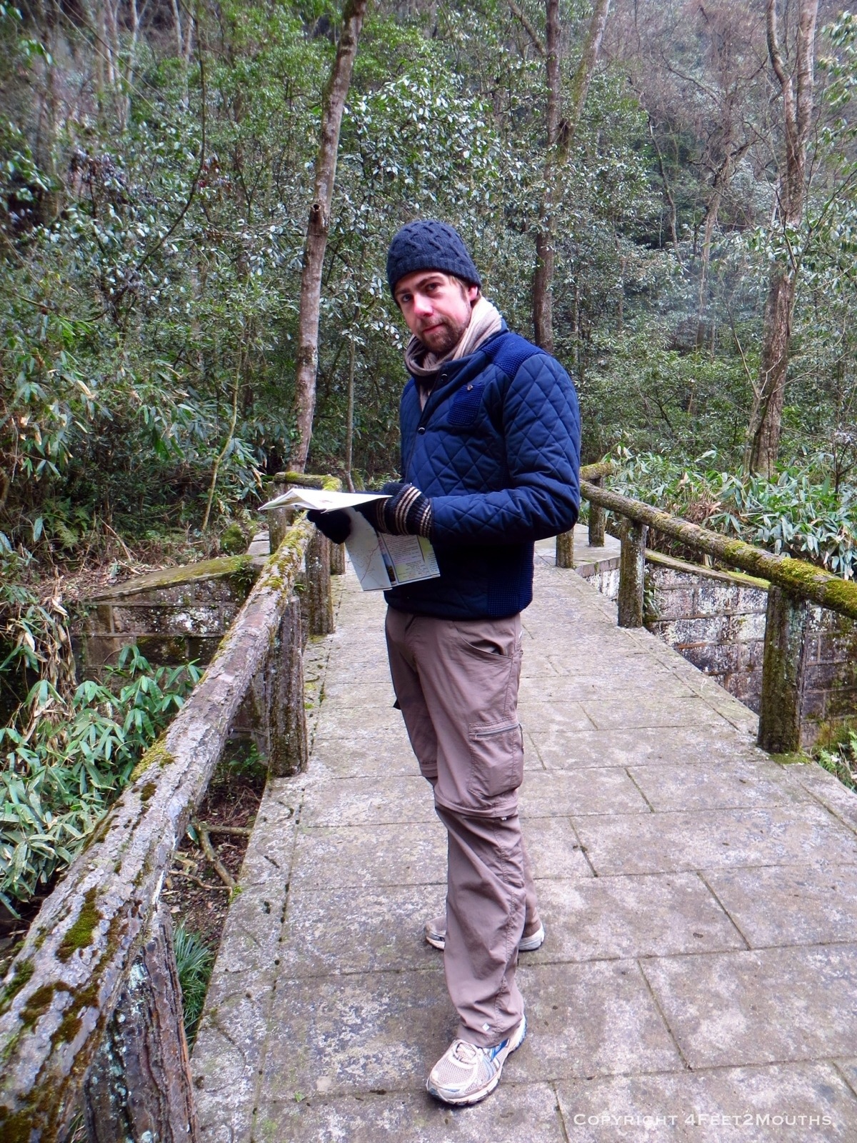
Nathan the map reader
Our plan for the next day was to hike to a nearby village in the morning and then head to some eastern viewpoints in the afternoon. The only problem was our map. Even the best map you can buy is mediocre with no real scale or indication of topography. We ended up going all the way back down to the stream bed, then back up almost to the cliff’s edge, then back down, then back up, then…well you get the picture. So. Many. Stairs. It was exhausting and it ended up taking the better part of the day.
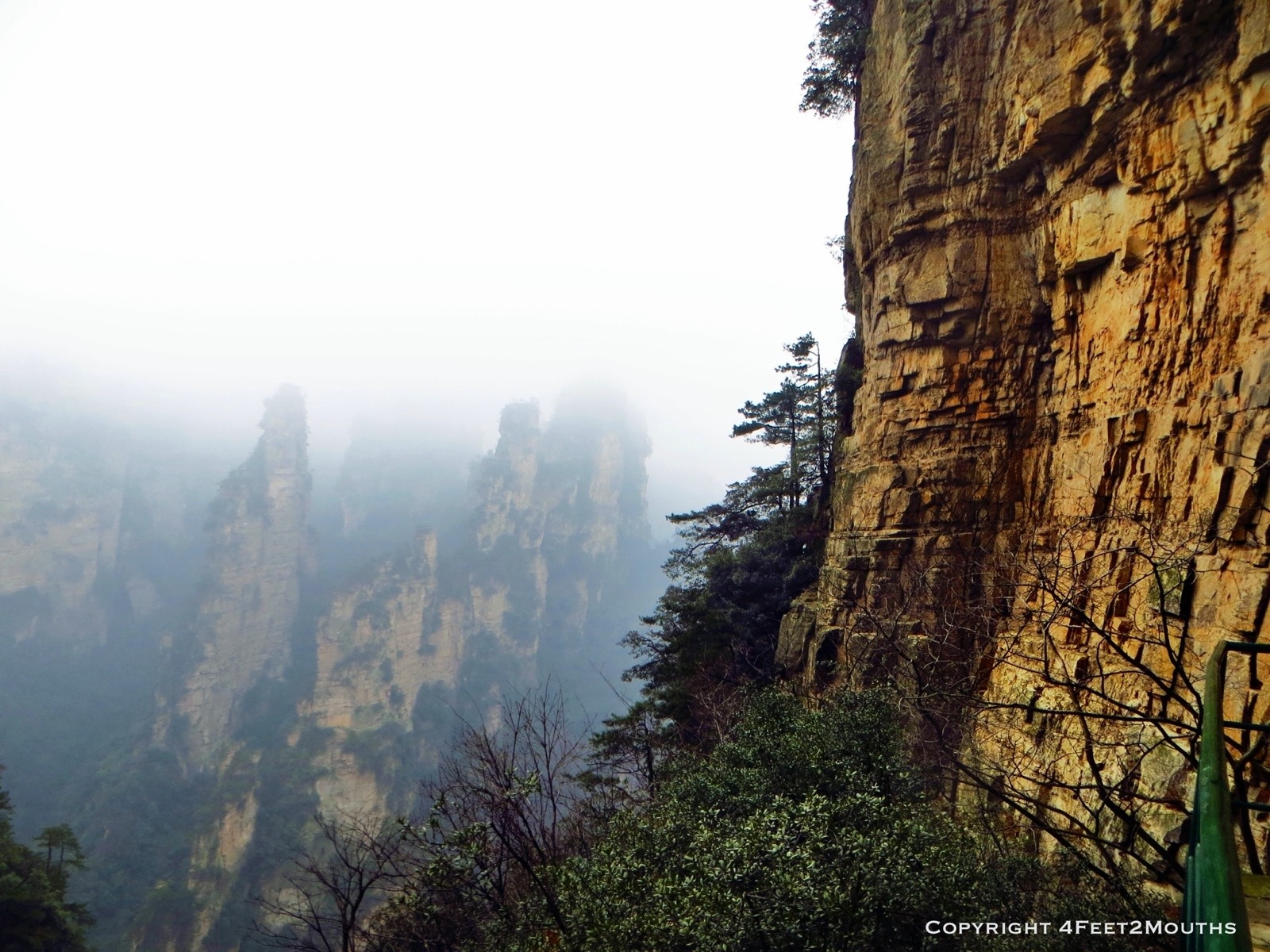
Fog rolling in

Dramatic cliffs
For all of our efforts, we didn’t get to see as much as we would have liked as the fog started hemming us in. We finally made it to the main park road and I hopped a park shuttle to the hostel. Nathan pushed on to the eastern views.

Looking down on thin towers

The Two Towers
Fortunately, the fog situation was a little better to the east and Nathan got some great shots. It started getting dark and I was relieved when he walked through the hostel door. Turned out he caught the last shuttle bus back!
Me in the fog
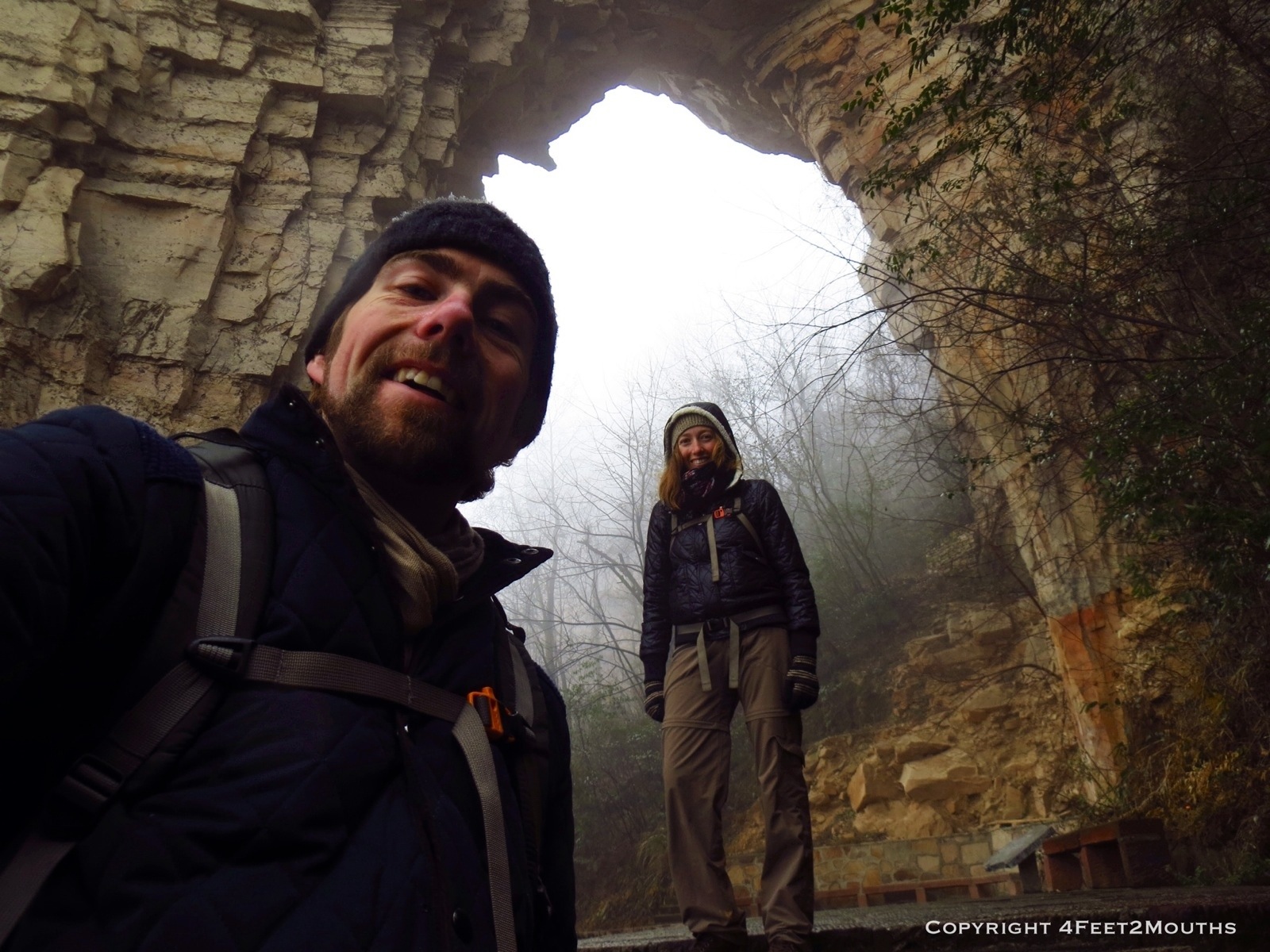
Us with a limestone arch
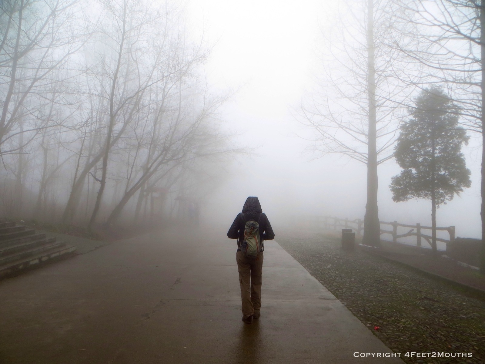
Our third and final day in the park we were completely fogged out. Literally we could not see more than 100 feet in front of us and all the viewpoints were simply walls of white. What made it even more sad was that two days later perfect sunny days were expected. Sigh. We climbed down the cliff stairs one final time vowing to return one day to see what we missed.

Market street in Zhangjiajie City

Noodles from the classically dingy restaurant
Our stay in the park was sandwiched between two days in Zhangjiajie City, 40 minutes southwest of the park. We weren’t expecting much from the city as we were only there for the nature but we really enjoyed our stay. A block up from the cleaned up shopping main street was a narrow market street that was just our style. Inside a dingy cafe, we ate some yummy noodles in a slightly tangy broth while rubbing elbows with locals at the one communal table.

Sizzling beef
Another fun eatery sat in the middle of a lane just east of the main square. Our hostel pointed us to it on their homemade map and recommended some dishes. A warm plate of beef kept hot with a table burner and a large plate of stir fried greens were placed before us and we did our best to eat it all. Its deliciousness ensured we were extra full that night.

View from our room’s balcony

Complex the Bajie hostel is located in
With full stomachs we slept well at our hostel, the Bajie. It was one of our most comfortable stays in China. I wish we could have stayed more nights there but it’s a little tricky to find. Upon arriving to the city, after walking up and down the street five times in the rain at night we eventually gave up and stayed somewhere else. Those are the not so fun parts of traveling that simply come with the territory.
Finally, we said goodbye to Zhangjiajie. We liked the town and the park and want to return someday. And next time, we will be able to find our hostel!